



weather
 weather
 could someone please send me a link to a good weather site. its looking pretty good for hrp tonight, i think i might try and crack off my first 11 second pass. tia joey

TECH Senior Member
Joined: Nov 2001
Posts: 9,246
Likes: 3
From: Troy, AL
Re: weather www.weather.com
www.weatherunderground.com
and a DA calculator...
http://rshelq.home.sprynet.com/calc_da.htm
www.weatherunderground.com
and a DA calculator...
http://rshelq.home.sprynet.com/calc_da.htm
Re: weather Thanks for the info Colonel.OK guys I used the calculator but dont really know what numbers Im looking for when it comes to DA. Whats yalls opinion of perfect weather for the best ET possible. Thanks again
TECH Senior Member
Joined: Nov 2001
Posts: 9,246
Likes: 3
From: Troy, AL
Re: weather The lower the DA the better for HP. A cold track doesn't hook as well.
So, the perfect weather would be -5000ft DA with a track surface temp of 125 degrees! <img border="0" title="" alt="[Wink]" src="gr_images/icons/wink.gif" /> (That will never happen, BTW.)
So, the perfect weather would be -5000ft DA with a track surface temp of 125 degrees! <img border="0" title="" alt="[Wink]" src="gr_images/icons/wink.gif" /> (That will never happen, BTW.)
Trending Topics
LS1 Tech Stories
The Best V8 Stories One Small Block at Time

Amazing '71 Camaro Restomod Is Modern Muscle Car Under the Skin
Verdad Gallardo
6 Common C5 Corvette Failures and What's Involved In Repairing Them
Pouria Savadkouei
Retro Modern Bandit Pontiac Trans AM Comes With Burt Reynolds' Autograph
Verdad Gallardo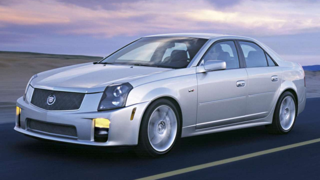
Top 10 Greatest Cadillac V Series Performance Models Ever, Ranked
Pouria Savadkouei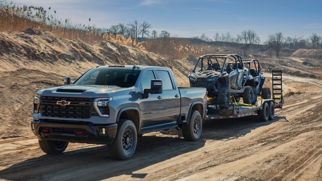
Top 10 Most Powerful Chevy Trucks Ever Made!
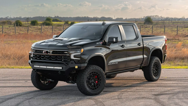
Hennessey's New Supercharged Silverado ZR2 Has 700 HP
Verdad Gallardo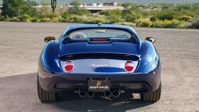
Coachbuilt N2A Anteros Is an LS2-Powered C6 Corvette In Italian Clothes
Verdad Gallardo
Awesome K5 Blazer Restomod Comes With C7 Corvette Power
Verdad Gallardo
10 Camaros You Should Never Buy

TECH Addict
Joined: Nov 2001
Posts: 2,556
Likes: 0
From: Nawf Carolina
Re: weather DA is a concept using a "standard" column of air. Its a measure of air quality in this standard column, so altitude is irrelevent <img border="0" title="" alt="[Smile]" src="gr_stretch.gif" />
J.
J.

TECH Regular
Joined: Nov 2001
Posts: 499
Likes: 0
From: Clarkston
Re: weather John:
I'll do that! Thanks! It would be nice to have a site where we could pull this up for the various tracks.
Crazyquik:
The calculator above asks for altitude as one of its entries.
Mark
I'll do that! Thanks! It would be nice to have a site where we could pull this up for the various tracks.
Crazyquik:
The calculator above asks for altitude as one of its entries.
Mark

TECH Fanatic
Joined: Nov 2001
Posts: 1,347
Likes: 1
From: Freeland, MD
Re: weather </font><blockquote><font size="1" face="Verdana, Helvetica, sans-serif">quote:</font><hr /><font size="2" face="Verdana, Helvetica, sans-serif">Originally posted by Bob Cosby:
<strong> </font><blockquote><font size="1" face="Verdana, Helvetica, sans-serif">quote:</font><hr /><font size="2" face="Verdana, Helvetica, sans-serif">DA is a concept using a "standard" column of air. Its a measure of air quality in this standard column, so altitude is irrelevent</font><hr /></blockquote><font size="2" face="Verdana, Helvetica, sans-serif">This is true IF, and only if the barometer reading you are getting is the actual pressure at the station - not corrected to 'Sea Level Pressure' or 'Altimeter Setting' like almost every place does....including the stuff you see on Wunderground and the Weather Channel. For example....go get the pressure right now for Houston and Denver. Denver is over 5000 ft higher, yet the pressure given by Wunderground is actually more than what is reported for Houston.
Why is that? Meteorologist correct all pressure readings to what they WOULD BE at sea level, based on the station elevation. Otherwise, on a weather chart, you'd always have lower pressure over the mountains (higher elevations = less atmosphere = less air pressure) and higher pressure near the coasts.
This isn't a big deal for near sea-level tracks like HRP, E-town, VMP, etc - but will make a significant difference for anything else.</strong></font><hr /></blockquote><font size="2" face="Verdana, Helvetica, sans-serif">Completely true, verified by a meteorologist (me). There is actually a bit more to it than this, which I will fill in:
Because pressure in the atmosphere decreases logarithimically (sp?) with height, meteorologists needed a way to identify meteorological systems at the surface that was not distorted by altitude pressure changes. To do this, actual station pressure is corrected to so-called sea-level pressure. This correction depends upon an assumed temperature profile that the atmosphere would have going from the station to sea-level. Strangely enough, this means that literally atmospheric temperatures are being assumed *below* the earth's surface.
What does this mean to the drag racer? If you live near the ocean (like at HRP), then station pressure and sea-level pressure are about the same. At elevation, however, sea level pressure is extrapolated, and *how* it is extrapolated depends upon current station temperature. Do not use sea-level pressures at elevation - find out the actual pressure.
<strong> </font><blockquote><font size="1" face="Verdana, Helvetica, sans-serif">quote:</font><hr /><font size="2" face="Verdana, Helvetica, sans-serif">DA is a concept using a "standard" column of air. Its a measure of air quality in this standard column, so altitude is irrelevent</font><hr /></blockquote><font size="2" face="Verdana, Helvetica, sans-serif">This is true IF, and only if the barometer reading you are getting is the actual pressure at the station - not corrected to 'Sea Level Pressure' or 'Altimeter Setting' like almost every place does....including the stuff you see on Wunderground and the Weather Channel. For example....go get the pressure right now for Houston and Denver. Denver is over 5000 ft higher, yet the pressure given by Wunderground is actually more than what is reported for Houston.
Why is that? Meteorologist correct all pressure readings to what they WOULD BE at sea level, based on the station elevation. Otherwise, on a weather chart, you'd always have lower pressure over the mountains (higher elevations = less atmosphere = less air pressure) and higher pressure near the coasts.
This isn't a big deal for near sea-level tracks like HRP, E-town, VMP, etc - but will make a significant difference for anything else.</strong></font><hr /></blockquote><font size="2" face="Verdana, Helvetica, sans-serif">Completely true, verified by a meteorologist (me). There is actually a bit more to it than this, which I will fill in:
Because pressure in the atmosphere decreases logarithimically (sp?) with height, meteorologists needed a way to identify meteorological systems at the surface that was not distorted by altitude pressure changes. To do this, actual station pressure is corrected to so-called sea-level pressure. This correction depends upon an assumed temperature profile that the atmosphere would have going from the station to sea-level. Strangely enough, this means that literally atmospheric temperatures are being assumed *below* the earth's surface.
What does this mean to the drag racer? If you live near the ocean (like at HRP), then station pressure and sea-level pressure are about the same. At elevation, however, sea level pressure is extrapolated, and *how* it is extrapolated depends upon current station temperature. Do not use sea-level pressures at elevation - find out the actual pressure.

TECH Resident
Joined: Nov 2001
Posts: 908
Likes: 0
From: Knoxville, TN
Re: weather </font><blockquote><font size="1" face="Verdana, Helvetica, sans-serif">quote:</font><hr /><font size="2" face="Verdana, Helvetica, sans-serif">DA is a concept using a "standard" column of air. Its a measure of air quality in this standard column, so altitude is irrelevent</font><hr /></blockquote><font size="2" face="Verdana, Helvetica, sans-serif">This is true IF, and only if the barometer reading you are getting is the actual pressure at the station - not corrected to 'Sea Level Pressure' or 'Altimeter Setting' like almost every place does....including the stuff you see on Wunderground and the Weather Channel. For example....go get the pressure right now for Houston and Denver. Denver is over 5000 ft higher, yet the pressure given by Wunderground is actually more than what is reported for Houston.
Why is that? Meteorologist correct all pressure readings to what they WOULD BE at sea level, based on the station elevation. Otherwise, on a weather chart, you'd always have lower pressure over the mountains (higher elevations = less atmosphere = less air pressure) and higher pressure near the coasts.
This isn't a big deal for near sea-level tracks like HRP, E-town, VMP, etc - but will make a significant difference for anything else.
Why is that? Meteorologist correct all pressure readings to what they WOULD BE at sea level, based on the station elevation. Otherwise, on a weather chart, you'd always have lower pressure over the mountains (higher elevations = less atmosphere = less air pressure) and higher pressure near the coasts.
This isn't a big deal for near sea-level tracks like HRP, E-town, VMP, etc - but will make a significant difference for anything else.
Re: weather Bob Cosby –
You are correct!! I learned something new today. Thanks.
At MMP in Montgomery, Alabama the elevation is 185ft so it is not a big deal for me but for others it could be substantial.
John
<small>[ May 02, 2002, 12:44 PM: Message edited by: JNorris ]</small>
You are correct!! I learned something new today. Thanks.
At MMP in Montgomery, Alabama the elevation is 185ft so it is not a big deal for me but for others it could be substantial.
John
<small>[ May 02, 2002, 12:44 PM: Message edited by: JNorris ]</small>
TECH Regular
Joined: Nov 2001
Posts: 499
Likes: 0
From: Clarkston
Re: weather WeatherGuy:
Ok, I thought I had a handle on this, let's make sure I do!
Using the DA calc link above, I enter:
Altitude: the actual elevation in feet.
Air Temp: the actual reported temperature.
Altimeter Setting: Exactly what do I enter here? The weatherunderground site just says "pressure"? What kind is it? Weather.com just says barometer? What's that?
Thanks!
Mark
<small>[ May 03, 2002, 04:26 PM: Message edited by: Sparky ]</small>
Ok, I thought I had a handle on this, let's make sure I do!
Using the DA calc link above, I enter:
Altitude: the actual elevation in feet.
Air Temp: the actual reported temperature.
Altimeter Setting: Exactly what do I enter here? The weatherunderground site just says "pressure"? What kind is it? Weather.com just says barometer? What's that?
Thanks!
Mark
<small>[ May 03, 2002, 04:26 PM: Message edited by: Sparky ]</small>